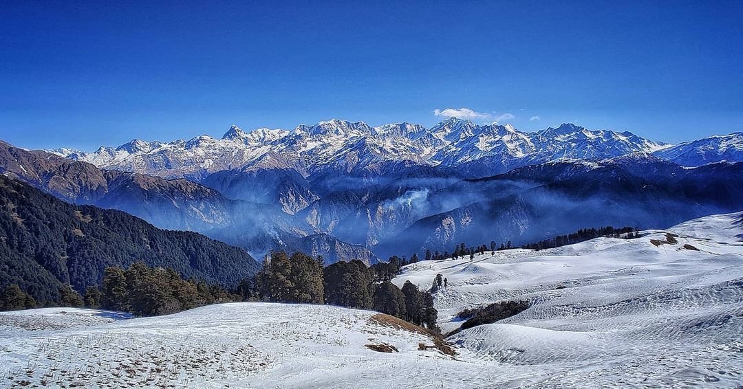
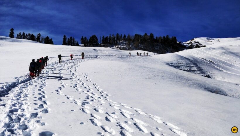
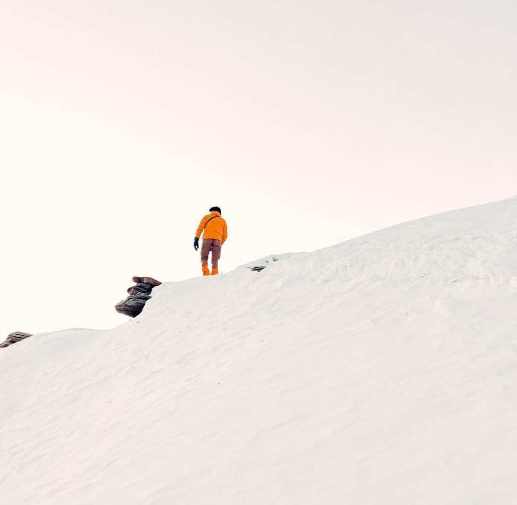
Offering the widest expanse of snowscape in Uttarakhand, Dayara Bugyal is a perfect picture of the Himalayan winters. This short trek spanning over five days remains true to its name- a Bugyal, i.e. ‘meadows’. This alpine field, that remains carpeted with wildflowers in the summer, turns into the most expansive field of snow in the winters, spread as far as your eyes can see.
With these vast open lands providing for unobstructed views of the Garhwal range, and thick forest lands blanketed by the white of freshly-fallen snow, DayaraBugyal at an impressive altitude of 3,750M is a walk through a gallery of mountain life. The trek begins in the self-sustaining village of Raithal in the Uttarkashi district of Uttarakhand, giving you a sneak peek into the unique culture of high-altitude trekking.
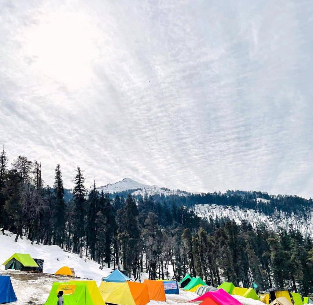
What’s even more fascinating is that this winter trek is full of surprises. The trail for this trek is simply enchanting! Lined with oak, pine and maple trees with Rhododendrons scattered across the landscape, the trails offer magnificent views of reverential peaks such as Mt. Bandarpoonch (6,316M), Mt. Srikanth (6,133 M), Gangotri I (6,672 M), and Black Peak (6,387 M). Across the summit – Dayara Top, one can witness a splendid panoramic view of the Garhwal range. This short trek also sends you gifts in the form of two mystical high-altitude lakes- that of Gui Lake sitting idly in the midst of this frozen landscape and the seaweed-green Barnala Tal, that wears the valley’s winter colours to perfection. Adding to this beauty is the music of Russet Sparrows, Eurasian Jays and Scarlet Minivets who follow along all the way to the end of the trek.
This short journey through these vast grasslands is the perfect introduction to the Himalayan landscapes for anyone who wants to explore the region. However, the extremely low temperatures in winters and the altitude that the trek takes you to, may be a few challenges that beginners might want to watch out for.
The best months for this trek to experience its winter landscape are December to the end of March. Stay on this page for more details on the route map, itinerary, temperature chart, photos, and videos.


